HISTORIX Vintage 1912 Middle East Map - 18x24 Inch Vintage Map of Countries Betw
Ships from
United States

Shipping options
Seller handling time is 1 business day Details
This reflects the seller's handling time and may not include time spent in transit.
If you have questions about shipping, please contact the seller.
No shipping price specified to GB
Ships from
United States
Return policy
Full refund available for DOAs
Details
- We guarantee our products and offer full refunds or exchange for defective items or items not as-described.
- Buyer must contact us within 30 days after receipt of shipment.
- The item must be received in the same condition as shipped.
- Items must be returned with all original packaging and accessories.
- Items must not be abused, modified or damaged by accident.
- A 20% restocking fee will be charged for returns
- Buyer is responsible for all return shipping and handling fees.
- Restocking and return shipping fees do not apply when item is returned as defective or because incorrect product was delivered.
Payment options
PayPal accepted
PayPal Credit accepted
Venmo accepted
PayPal, MasterCard, Visa, Discover, and American Express accepted
Maestro accepted
Amazon Pay accepted
Nuvei accepted
Item traits
| Category: |
Laminating Machines
|
| Quantity Available: |
16 in stock
|
| Condition: |
New
|
| ASIN: |
B09H51GBK2
|
| Item Name: |
1912 Countries between Constantinople and Calcutta
|
| Item Type Keyword: |
board-games
|
| Product Site Launch Date: |
2021-09-26T02:45:41.896Z
|
| Unspsc Code: |
60121013
|
| sizes: |
View details
18x24 Inch (8 in stock)
24x36 Inch (8 in stock)
|
Listing details
|
Seller policies:
|
View seller policies
|
|
Shipping discount:
|
Seller pays shipping for this item.
|
|
Posted for sale:
|
April 15
|
|
Item number:
|
1739667879
|
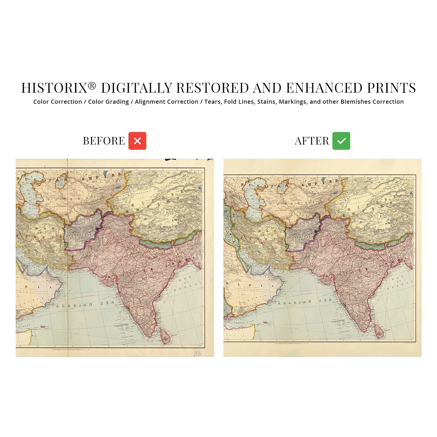
Produced and published by the prominent English mapmaking company founded by Royal Geographical Society member Edward Stanford, this intricately detailed depiction of the regions between Constantinople and Calcutta immediately transports the viewer back in time. Stanford's career spanned more than six decades, and the Stanford shop has become an iconic London landmark. Stanford's work across Asia, India, and the Middle East are among some of these regions' most sought-after productions. His extensive travel and maps were colloquially known as Library Maps. He worked closely with explorers, and the Stanford Range in British Columbia bears his namesake.
The early twentieth century was a period of significant transition as advances in the western world expanded access, and the modern era was rushing forward. Published only two years before World War I, these regions would see significant expansion and development throughout the coming decades. Constantinople was the Roman Capital of the Middle East until it was renamed Istanbul in 1930. Calcutta remains the Capital of the western Indian state of West Bengal and was the center for the Indian independence movement, which gained control of the nation from British colonial rule in 1947.
This map's distinctive aesthetic and classic appearance make it an authentic piece of global and cartographical history. Stanford's pedigree and skill made him one of the most respected English cartographers of the nineteenth century. As British expansion increased during the eighteenth and nineteenth centuries, maps became extremely popular, and Stanford was the first sole proprietor.
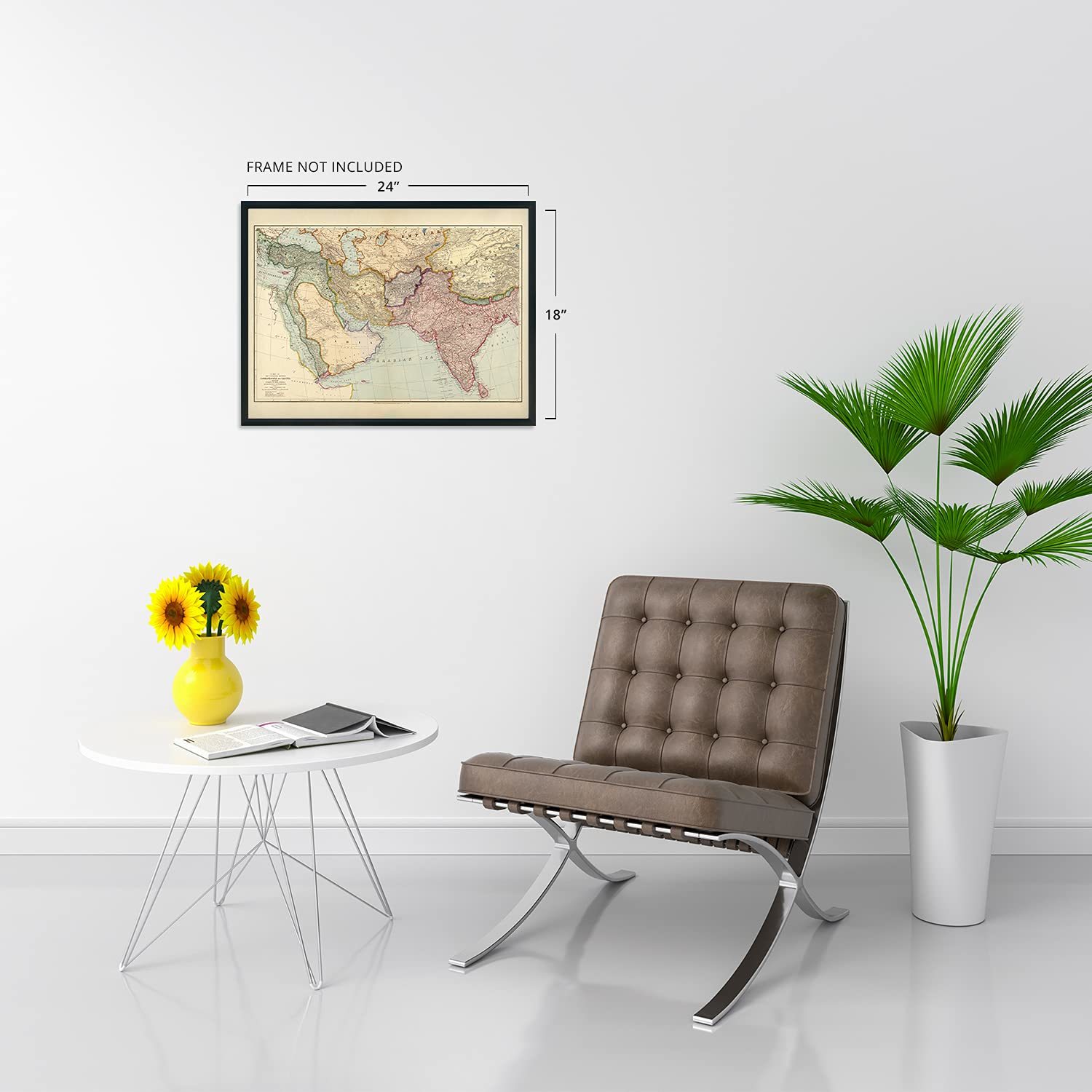
Our museum quality giclee print comes printed with archival ink on premium heavyweight matte paper. Shipped in a sturdy cardboard tube your print will arrive ready to be framed. This eye-catching vintage map reproduction print makes the perfect gift for anyone that loves history and imagery.