HISTORIX 2021 Arctic Region Map Poster - 18x24 Inch Arctic Poster Print - North
Ships from
United States

Shipping options
Seller handling time is 1 business day Details
This reflects the seller's handling time and may not include time spent in transit.
If you have questions about shipping, please contact the seller.
No shipping price specified to GB
Ships from
United States
Return policy
Full refund available for DOAs
Details
- We guarantee our products and offer full refunds or exchange for defective items or items not as-described.
- Buyer must contact us within 30 days after receipt of shipment.
- The item must be received in the same condition as shipped.
- Items must be returned with all original packaging and accessories.
- Items must not be abused, modified or damaged by accident.
- A 20% restocking fee will be charged for returns
- Buyer is responsible for all return shipping and handling fees.
- Restocking and return shipping fees do not apply when item is returned as defective or because incorrect product was delivered.
Payment options
PayPal accepted
PayPal Credit accepted
Venmo accepted
PayPal, MasterCard, Visa, Discover, and American Express accepted
Maestro accepted
Amazon Pay accepted
Nuvei accepted
Item traits
| Category: |
Laminating Machines
|
| Quantity Available: |
16 in stock
|
| Condition: |
New
|
| ASIN: |
B09NKNX286
|
| Item Name: |
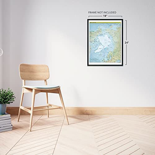
2021 Arctic Region Poster Print
|
| Item Type Keyword: |
prints
|
| Unspsc Code: |
60121013
|
| sizes: |
View details
18x24 Inch (8 in stock)
24x30 Inch (8 in stock)
|
Listing details
|
Seller policies:
|
View seller policies
|
|
Shipping discount:
|
Seller pays shipping for this item.
|
|
Posted for sale:
|
April 27
|
|
Item number:
|
1742920269
|
Characterized by one of the harshest climates and vast uninhabited expanses, the Arctic Region has long fascinated explorers and the public during the nineteenth and twentieth centuries. With lands controlled by Russia, Canada, Denmark, and the United States, it contains the iconic North Pole and is home to indigenous Inuits who have lived off the land for centuries. The frozen climate was long thought to hold a route to Asia from Europe. Numerous European explorers unsuccessfully attempted to navigate the region during the search for the Northwest Passage. Beginning in 1937, the Western portions of the Arctic were explored by Russian expeditions on floating ice drifts.
Greenland was discovered some five hundred years prior to Columbus’ arrival in what is now the modern-day Dominican Republic. Leif Erikson is considered the first European to set for in North America with the discovery of Greenland. The region has been settled with some degree of European presence since the tenth century. The Arctic Region contains one of the most unique ecosystems and is predominantly covered in treeless permafrost.
The Central Intelligence Agency has been producing the most accurate geopolitical maps for use by military and political leaders to develop strategy and policy since 1941. CIA maps are distinguished by their characteristic minimalism, crisp lines, and immediately recognizable style. While the Arctic region continues to change and evolve, it is limited by its natural geography and remains one of the last genuinely remote places on the planet which is documented in this historical production,.
Our museum quality giclee print comes printed with archival ink on premium heavyweight matte paper. Shipped in a sturdy cardboard tube your print will arrive ready to be framed. This eye-catching vintage map reproduction print makes the perfect gift for anyone that loves history and imagery.