Quality items from Bonanza’s top-rated sellers.
VANCOUVERMAPS earned a 100% satisfaction rating for providing an excellent experience from start to finish. View booth >>


| Category: | |
|---|---|
| Quantity Available: |
Only one in stock, order soon |
| Condition: |
Used |
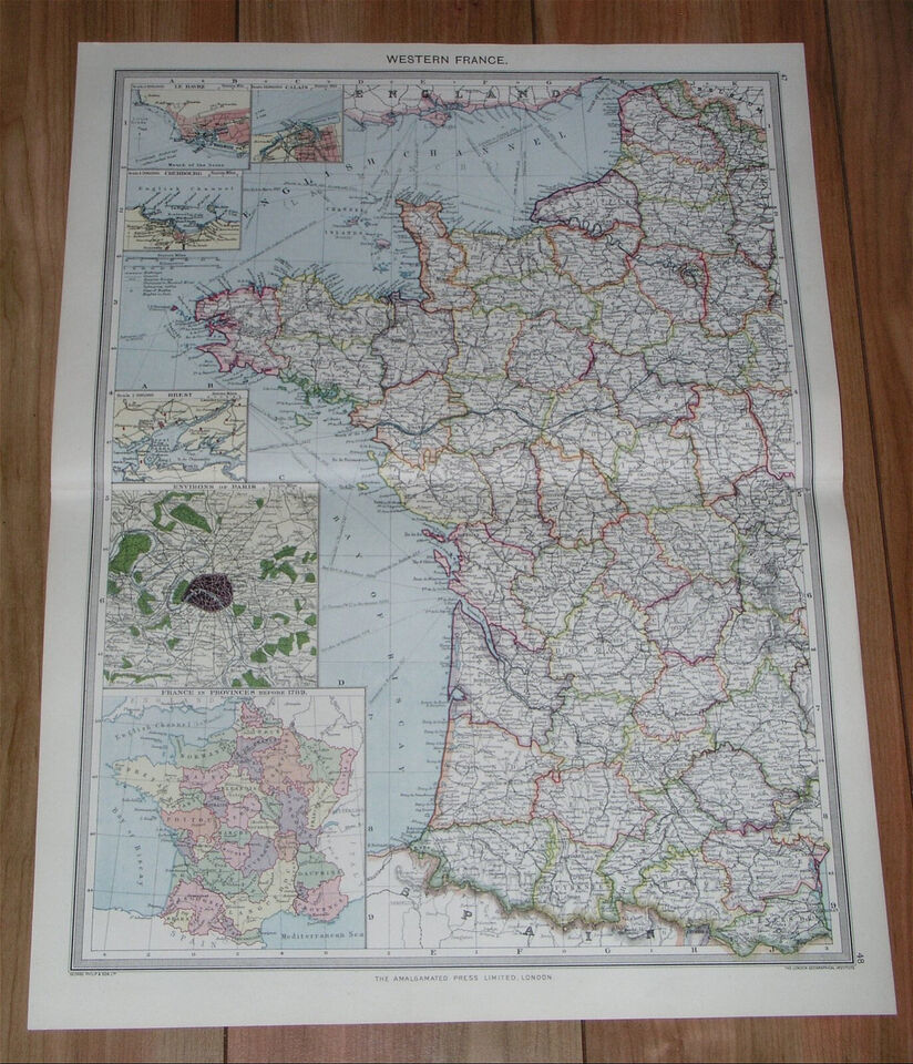
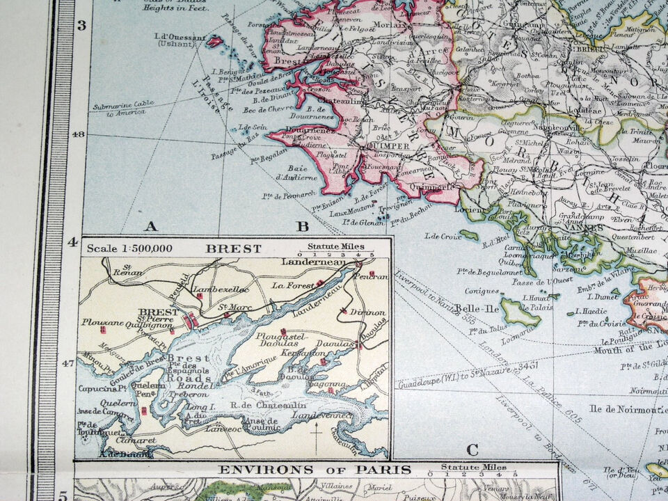
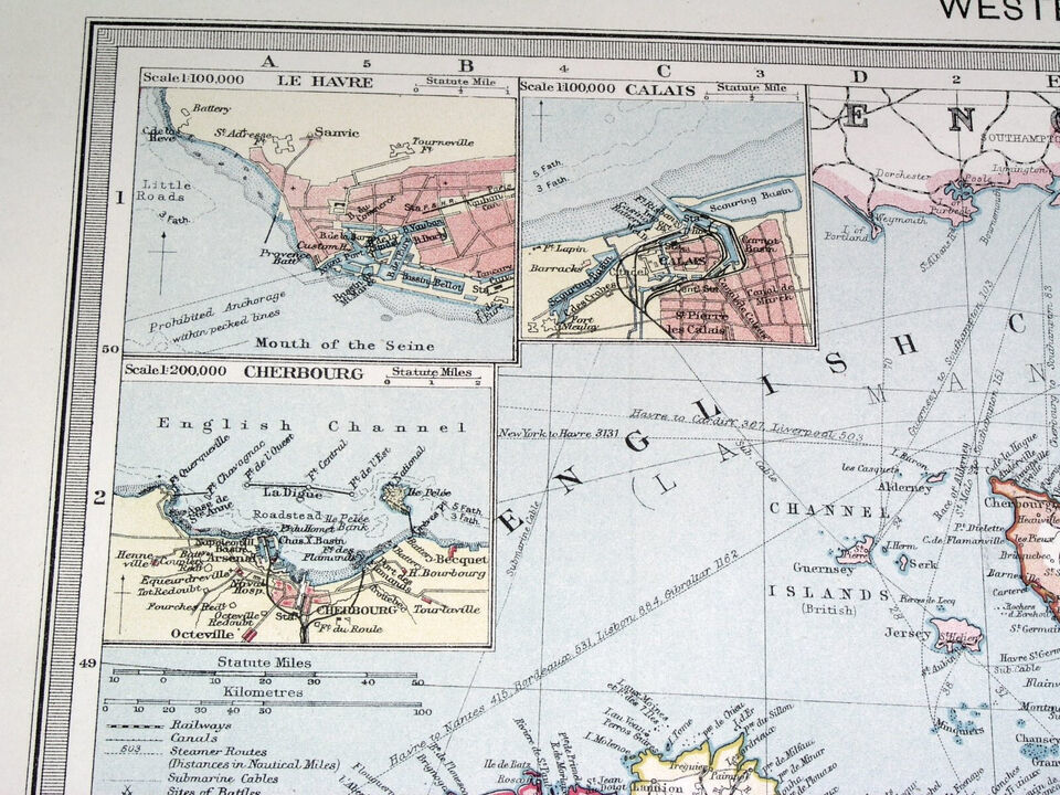
| Type: |
Political Map |
| Date Range: |
1900-1909 |
| Year: |
1908 |
| Country/Region: |
Belgium |
| City: |
Brussels |
| Seller Notes: |
“SOME STAINS / THE MAP IS REINFORCED ON BACK ALONG THE CENTERFOLD.” |
| Shipping discount: |
Items after first shipped at flat $0.00 |
|---|---|
| Posted for sale: |
June 22 |
| Item number: |
1648976796 |

We'll email you a link to your item now and follow up with a single reminder (if you'd like one). That's it! No spam, no hassle.
